
 EN
EN
 ar
ar bg
bg hr
hr cs
cs da
da nl
nl fi
fi fr
fr de
de el
el hi
hi it
it ko
ko no
no pl
pl pt
pt ro
ro ru
ru es
es sv
sv tl
tl iw
iw id
id lv
lv lt
lt sr
sr sk
sk sl
sl uk
uk vi
vi et
et hu
hu th
th tr
tr fa
fa ms
ms hy
hy ka
ka ur
ur bn
bn mn
mn ta
ta kk
kk uz
uz ku
ku
hydrostatic level sensors
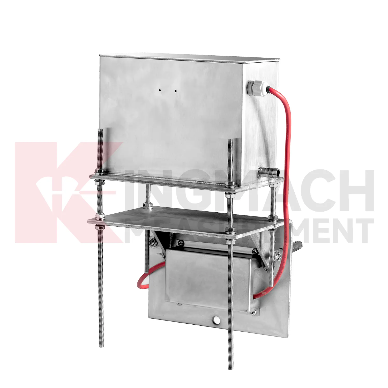
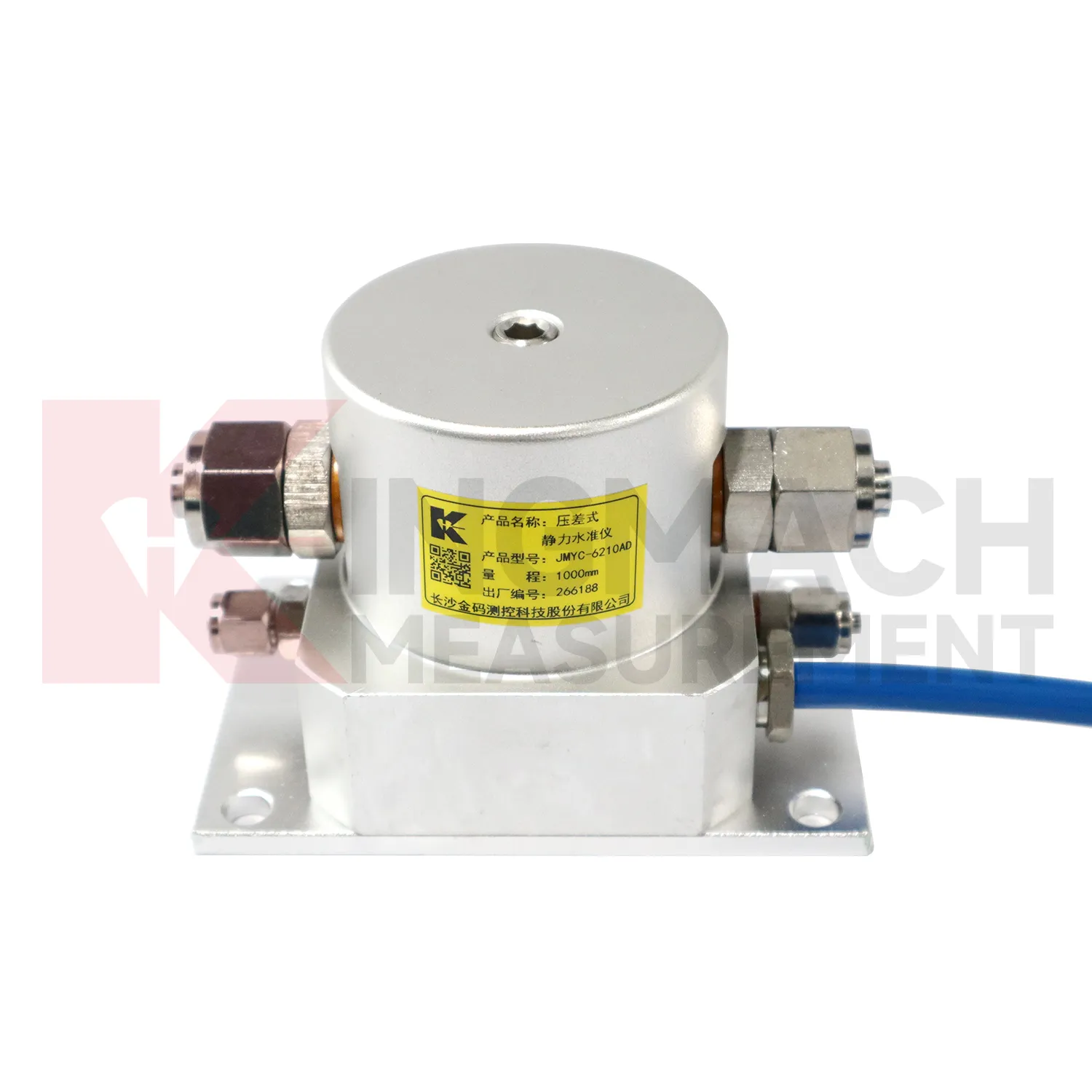
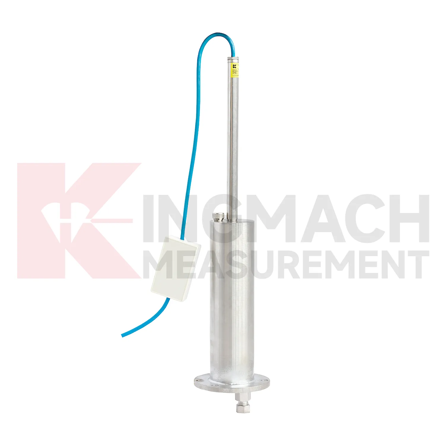
Kingmach hydrostatic level sensors include the JMDL-62XXADT inductive frequency-modulated hydrostatic level sensor for projects that need a hydrostatic reference network rather than isolated manual checks. The instrument is arranged with connecting tubes, so each measuring location works against a shared liquid level and a stable reference point. Listed ranges are 50 mm, 100 mm, and 200 mm, with 0.01 mm resolution, 0.5%FS accuracy, RS485 output, DC 9V to 24V supply, power consumption below 0.5W, and an operating temperature from -30 degrees Celsius to +80 degrees Celsius. It is applied in dam deformation observation, bridge deflection, slope stability, building settlement, and high-speed rail foundation monitoring. A good project layout starts with the reference benchmark, tube slope, exhaust position, cabinet height, cable route, and channel address. During commissioning, the crew should remove trapped air, confirm fluid continuity, record the initial level, and compare every channel under the same temperature condition. The data cabinet can then collect each channel by address and preserve a clear relation between tube branch, instrument serial number, and drawing location. This makes later data easier to judge because a curve change can be traced back to a named measuring point, a known hydraulic path, and a documented baseline.
Application of hydrostatic level sensors
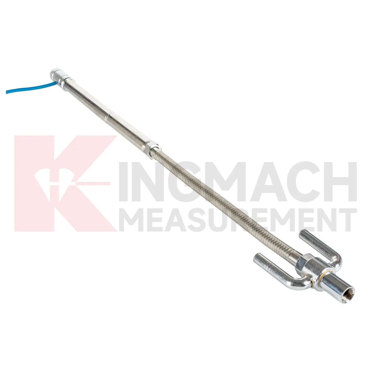
In bridge deflection and pier foundation monitoring, hydrostatic level sensors help engineers follow vertical behavior that may change with traffic, temperature, bearing response, scour, or foundation compression. Kingmach JMQJ-62XXADT micro range hydrostatic level sensors provide 50 mm and 100 mm ranges, 0.01 mm resolution, RS485 output, and IP68 protection for small movements near decks, piers, or abutments. JMDL-62XXADT hydrostatic sensors can connect several measuring points through tubes, allowing a bridge team to compare related locations against a common reference instead of reading each point alone. A practical layout may place sensors near pier caps, bearing seats, approach slabs, or foundation observation positions, depending on the risk being tracked. The daily review should not look at the settlement curve by itself. Traffic loading, temperature swing, inspection findings, bearing condition, river level, and nearby structural instruments give the curve meaning. If a pier point drifts while the deck and approach slab stay stable, the cause is different from a whole-span temperature response. Clear naming, stable reference control, and consistent reading intervals turn small vertical changes into usable maintenance evidence.
The future of hydrostatic level sensors
Data fusion will define the future role of hydrostatic level sensors in structural health monitoring. Settlement should be reviewed beside displacement, tilt, strain, load, pore pressure, rainfall, vibration, and water level data. For example, a subgrade settlement trend may be more meaningful when rainfall and traffic loading are visible. A foundation pit uplift reading may need groundwater and support force context. A bridge deflection reading may need temperature and bearing information. Kingmach settlement products can provide the vertical movement layer in this wider record. When different sensor types are reviewed together, warnings can be based on relationships rather than a single number. That helps engineers prioritize site checks and avoid overreacting to harmless movement or missing linked changes across several instruments. Future platforms should make these relationships easy to review without hiding the raw settlement readings.
Care & Maintenance of hydrostatic level sensors
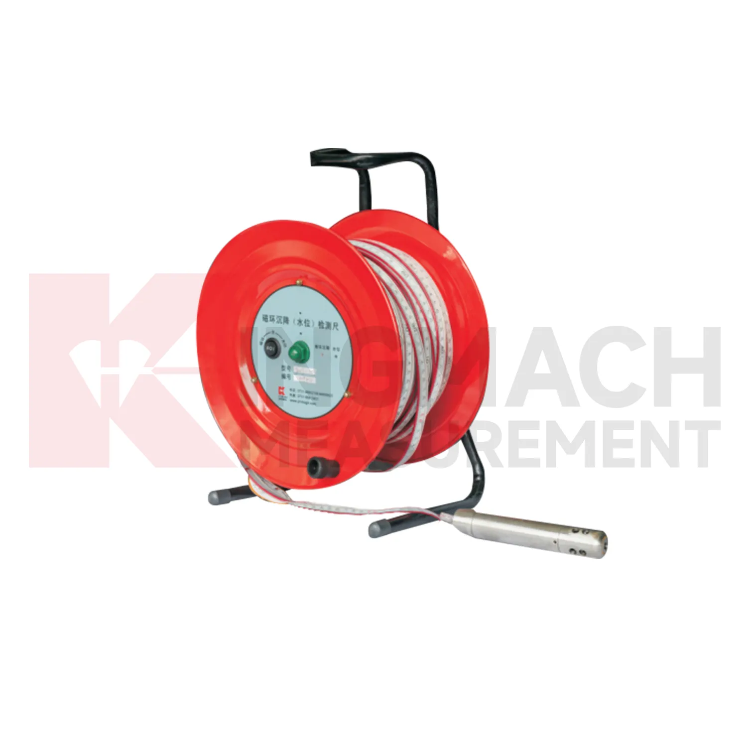
Manual-reading hydrostatic level sensors should follow a repeatable procedure every visit. Use the same reference mark, reading direction, tape handling method, waiting time, and data sheet format. This is especially important for magnetic ring settlement gauges and borehole water level readings, where inconsistent field practice can create false changes. Record operator, weather, groundwater condition, borehole obstruction, battery condition, and any unusual sound or visual indication from the alert system. Do not round readings differently from one visit to the next. If manual data is later entered into software, keep the original field notes available for checking. Manual monitoring can be reliable over many years when the process is simple, dated, and boringly consistent. The goal is repeatability, not speed.
Kingmach hydrostatic level sensors
hydrostatic level sensors become most useful when they are part of a disciplined data chain. The sensor body is only one part of the record. Reference point, water tube route, cable label, borehole number, ring depth, bus address, platform unit, baseline, and inspection note all shape whether the final curve can be trusted. Kingmach products support both manual reading and automated acquisition, so the same project may combine field tape readings, RS485 data, bus modules, and software reports. During commissioning, each channel should be checked against the physical point. During maintenance, data gaps should be compared with power, communication, weather, and cabinet work. This makes settlement monitoring less mysterious and more useful to the people who must act on it. When those details are settled before installation, the sensor has a much better chance of producing a reliable curve throughout the project life. When those details are settled before installation, the sensor has a much better chance of producing a reliable curve throughout the project life.
FAQ
Q: What are hydrostatic level sensors used for?
A: They measure vertical deformation such as foundation settlement, subgrade settlement, embankment heave, tunnel bottom uplift, dam settlement, bridge deflection, and building settlement.
Q: Which Kingmach models are related to this group?
A: Common models include JMDL-47XXAT, JMDL-62XXAT/ADT, JMQJ-62XXADT, JMYC-62XXAD, and JMCJ-1003/1005.
Q: What is the difference between single-point and hydrostatic monitoring?
A: Single-point gauges measure settlement at a specific embedded point, while hydrostatic systems compare several points against a reference level through connected liquid paths.
Q: Can the readings be collected remotely?
A: Yes. Several Kingmach hydrostatic and settlement instruments support RS485 output or automatic acquisition systems for remote collection.
Q: Why is the reference point important?
A: Settlement is often calculated relative to a reference. If the reference changes or is poorly documented, the whole settlement curve can become misleading.
Reviews
Daniel Brown
Excellent environmental monitoring sensors. The data is consistent, and the system integrates smoothly with our existing setup.
Michael Anderson
The strain gauges and load cells are extremely accurate and stable. They performed very well in our bridge monitoring project. Highly recommended!
Latest Inquiries
To protect the privacy of our buyers, only public service email domains like Gmail, Yahoo, and MSN will be displayed. Additionally, only a limited portion of the inquiry content will be shown.
Evelyn***@gmail.comSouth Africa
Hi, we are a contractor working on tunnel construction and need settlement sensors and displacement ...
Amelia***@gmail.comSingapore
Hello, I am looking for visualization software for monitoring system data analysis. Please let me kn...